SST Software, an industry leader in precision agriculture, will soon offer remote sensing services to growers and ag service providers in partnership with GeoVantage, a global provider of multi-spectral imagery.
 The partnership will enable SST to provide seamless ordering, acquisition, and delivery of multi-spectral imagery across the U.S., Canada, and Australia. SST’s software currently manages approximately 85 million acres of farmland across 23 countries.
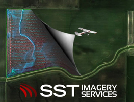
“This imagery as a data layer is used to help growers and service providers make better management decisions,” said Tim Riley, SST Business Development Director, who adds that GeoVantage has a proprietary platform for acquiring the imagery via airplanes. “They have strategically placed assets throughout the country and heavily in the same areas where we have customers. Because of that, it was just a natural partnership.”
Starting in spring 2014, ag service providers using SST Summit will be able to order imagery on demand and Riley says they are very excited about future applications. “There’s a lot of buzz around the Unmanned Aerial Vehicle systems and we plan to integrate that type of data into our system, as well as satellite imagery.”
Listen to Riley explain more here: [wpaudio url=”http://zimmcomm.biz/precision/sst-geovantage.mp3″ text=”Tim Riley, SST comments on partnership with GeoVantage”]