Geographic Information Systems (GIS) technology is becoming more important in the global production of food and fiber.
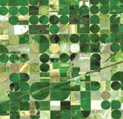 According to GIS software technology firm Esri, the ability of GIS to analyze and visualize agricultural environments and workflows is proving to be very beneficial for farmers in the challenge to feed an ever-growing population.
For example, using GIS tools like Esri’s ArcGIS, can help farmers conduct crop forecasting by collecting georeference samples in cultivated areas and applying a statistical process to the samples. After completing the data, they create a geodatabase that helps farmers make better decisions. This forecasting measure helps them better accurately conduct harvests and save on spoilage, meaning more food gets to people.
 Agriculture is one of the fastest-growing GIS customer bases and that means more career opportunities for GIS professionals.
“GIS is crucial in agriculture as it can be used to understand everything from where to better apply fertilizers to mapping various conditions of the soil. The information is processed immediately and indicates to farmers whether they need to adjust their strategy to improve production, which directly impacts revenue, food and products for the world’s population,” says Devon Cancilla, Ph.D., dean, business and technology at Colorado-based American Sentinel University.
Cancilla says American Sentinel offers on-line GIS degree programs to prepare students who like working with software that visualizes data, as opposed to simply reporting it in numbers and charts.