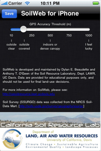
A free app for iPhone, iPad and Adroid users provides a mobile way to access soil survey information.
 It’s called SoilWeb and it combines online soil survey information with the GPS capabilities of smartphones.
The SoilWeb app is a portable version of the UC Davis California Soil Resource Lab’s Web-based interface to digital soil survey data from USDA’s Natural Resources Conservation Service (NRCS). Because the app provides soil survey information in a mobile form, it is particularly useful for those working in the field.
Until recently, a disadvantage of Web-based soil survey formats was that user access was limited to desktop computers with an internet connection. That’s one reason that NRCS soil scientist Dr. Dylan Beaudette, while still a graduate student at UC Davis, developed the SoilWeb app in collaboration with NRCS and the UC Davis California Soil Resource Lab.
SoilWeb can retrieve a graphic summary of soil types in response to a user inquiry in the form of soil profile sketches. Each profile sketch shows soil horizons, often compared to a vertical ice cream sandwich made up of layers of soil. Soil names, locations and taxonomic categories are also shown.
